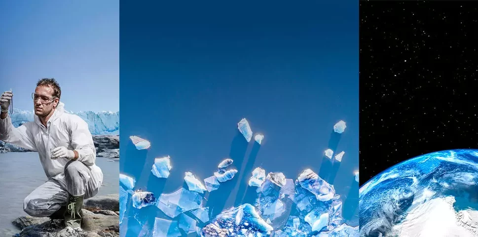
The ever-evolving aerospace technology for Earth observation enables scientists like Anna Hogg to measure the speed of ice melting in the polar regions and provide key insights on climate change.
Europe’s Copernicus Sentinel satellites and CryoSat-2 provide vast amounts of data to better combat human-driven global warming.
Antarctica is the southernmost continent on the planet, an imposing ice desert surrounded by ocean. Its mountain ranges of up to 3,000 metres, full of glaciers, go down to sea level and into the water. In its vast territory coexist the most aristocratic king and emperor penguins, seals and sea leopards, wandering albatrosses and blue-eyed cormorants. Blue whales are a regular visitor and there are no land mammals… except for scientists studying the rapid melting of icebergs. « It’s the most wonderful place in the world, » says Anna Hogg.
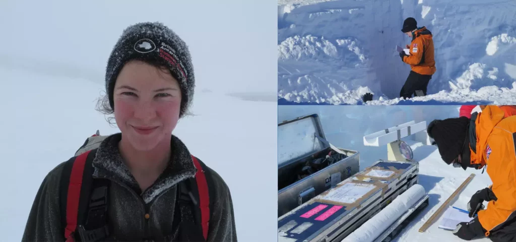
Anna Hogg has a broad experience of collaborative research, having managed or led over 10 international projects funded by ESA. She is also the co-director of the SENSE Centre for Doctoral Training (CDT) which trains the next generation of Earth observation leaders. Photo: Courtesy of Anna Hogg.
Professor in the School of Earth and Environment at the University of Leeds in the Institute for Atmospheric and Climate Science (ICAS), Anna Hogg has visited Antarctica and Greenland nearly a dozen times since her first scientific expedition in 2013. In her memory she keeps indelible moments, such as looking at a horizon occupied by ‘sun halos’, spectacular rings of light that are formed around the sun.
But for some time now concern has replaced beauty in Professor Hogg’s horizon. « Every year miles of thinning ice flow into the ocean, a trend that is accelerating. On glaciers like Pine Island in West Antarctica, the rate of ice flow has accelerated by more than 50 percent since the 1990s. It’s incredible. People may see Antarctica as a very remote place, but it is changing rapidly and melting blocks of this great ice sheet are contributing to global sea level rise.”
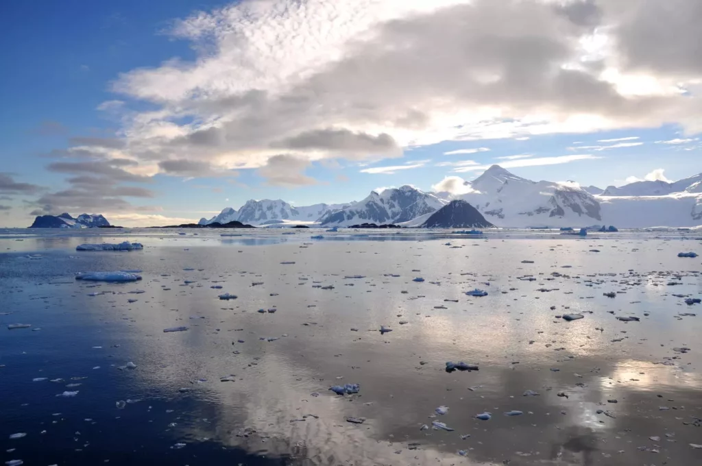
Professor Hogg has participated in several scientific expeditions to the Antarctic. “It’s the collision between the dramatic landscape and the natural world that makes the region unique.” Photo: Courtesy of Anna Hogg.
Recording the rapid meltdown of glaciers and ice thickness in the Antarctic
Field work in the polar regions serves to validate and calibrate measurements collected from space, the main source of scientific research on global warming.
« Europe has by far the best quality and most diverse set of Earth observation satellites in orbit, » emphasises Professor Hogg. Her team combines information provided by the Sentinel satellites of the Copernicus constellation (see infographic), for which Airbus Defence and Space is one of the main manufacturers, with ice thickness data provided by the CryoSat-2 satellite, also developed by Airbus for the European Space Agency (ESA). « The speed of change is just as incredible. For example, the thickness of ice on Smith Glacier is decreasing by 9 metres per year, the height of a 3-story building. »
Satellites such as CryoSat-2 and the Sentinels have contributed to a leap forward in the detailed study of climate change. High-performance computers at the University of Leeds are used to download hundreds of terabytes of data from the ESA-managed cloud archive. The increasing automation of these processes allows a large collaborative network of research centres in Europe and the UK to monitor « near real-time » the state of the poles. « We can now access more data and measurements on a weekly basis, which has allowed us to completely transform our ability to study the process and its time scale; we have a global picture of the evolution of the ice sheets that we didn’t have before. It’s a very exciting thing for a scientist. »
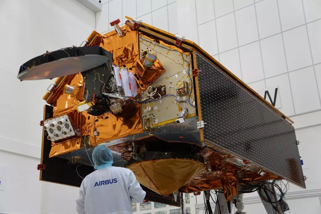
Copernicus Sentinel climate satellites 2C, 2D and 6B are now complete and are being safely stored in special tents at Airbus’ Friedrichshafen site in Germany. They are tested every year awaiting their turn in orbit, once their sister Sentinel satellites reach their end of life.
Constant monitoring of the state of the planet with Copernicus
Behind the studies of the global scientific community is a space industry with people like Raphael Caille, who started at Airbus as a CryoSat-2 test engineer and is now programme manager for Sentinel-6. Launched in 2020, the mission of this satellite is to improve ocean monitoring and sea surface height measurements, complementing the observation of the polar regions on which Anna Hogg focuses. « This makes us naturally proud to see that our work contributes to helping scientists to better understand our planet and the effects of omnipresent subjects such as global warming, » says Raphael.
Raphael’s colleague at Airbus, Gunn Schweickert, is programme manager for the Sentinel-2A and -2B satellites, launched in 2015 and 2017, respectively. These identical satellites supply images for a myriad of applications from food security, to environmental protection and support to humanitarian aid. Services include crop monitoring, land-use and urban planning, forest monitoring, water services, soil erosion monitoring, observing the shrinking ice caps and image delivery in the face of natural disasters such as floods or forest fires. « The excellent spectral resolution of the instruments makes it possible for farmers, for example, to schedule the correct distribution of fertiliser and water on their fields, » says Gunn.
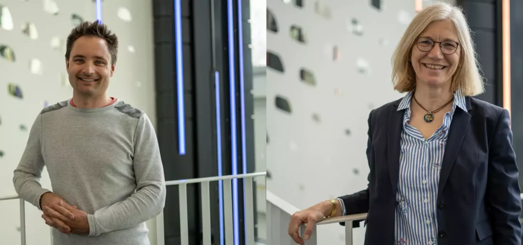
Raphael Caille and Gunn Schweickert.
Sentinel-2 allows every location on Earth to be revisited every five days from the same angle. « We have extreme repeatability of the data. It is tremendously important that we monitor the whole Earth continuously, for example, to capture the rate of desertification, the loss of forests and how water is being used in the world. We’re not just looking at Europe. We have the planet at stake. With the Copernicus Programme and its Sentinel satellites, that deliver Earth observation data to everyone, the European Union helps to make the world a better place, » Gunn stresses.

The Copernicus programme comprises satellites for “in-situ” measurement and derived “services” addressing six specific topics: oceans, atmosphere, climate change, land, security and management of emergency situations.
Objective: limit global warming to 1.5°C target
The 2015 Paris Agreement’s goal of limiting global warming to 1.5 degrees Celsius compared to pre-industrial levels may be slipping out of reach. Some of the impacts, such as global sea level rise, could be « irreversible for centuries or millennia, » according to the latest assessments by the UN’s Intergovernmental Panel on Climate Change (IPCC).
Despite all this, Professor Hogg is still confident in society’ ability to slow the trend. « Science and more detailed monitoring of greenhouse gas emissions, melting ice or changes in sea temperature has driven a change in the mindset of politicians and the general public over the last decade. Today, we have a fantastically detailed evidence base in large part delivered by satellite data, which we can use to make informed policy decisions. »
« I became a scientist to find out how the world worked, » concludes Professor Hogg. « Well, observation of the Earth has shown how our planet is evolving. The evidence suggests that our way of life probably needs to change. The question is no longer whether climate change is happening, but what we are going to do about it. »


